Recon for possible ABF hike

Sunday’s weather forecast called for lots of rain, so my hiking companion bailed.

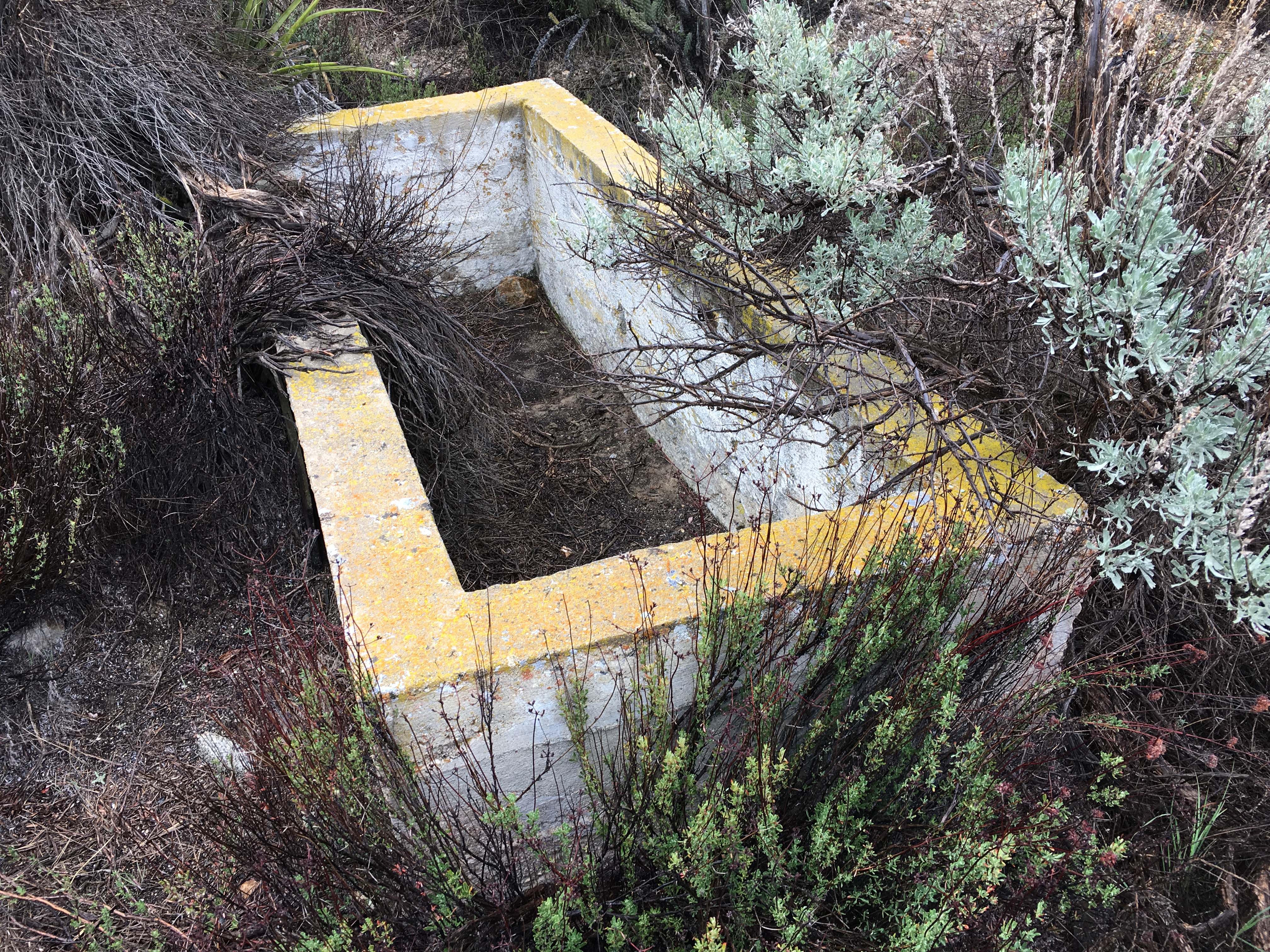
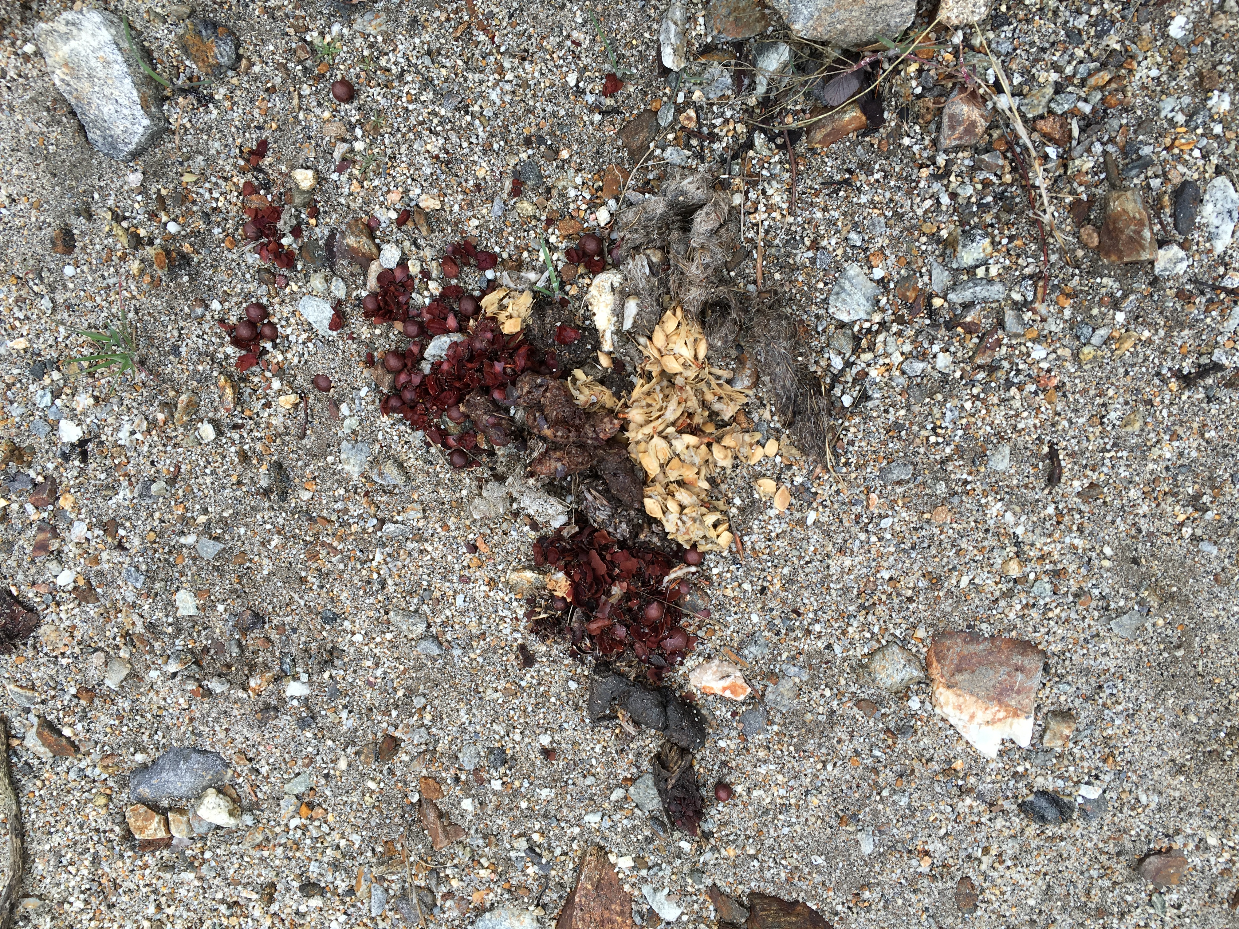
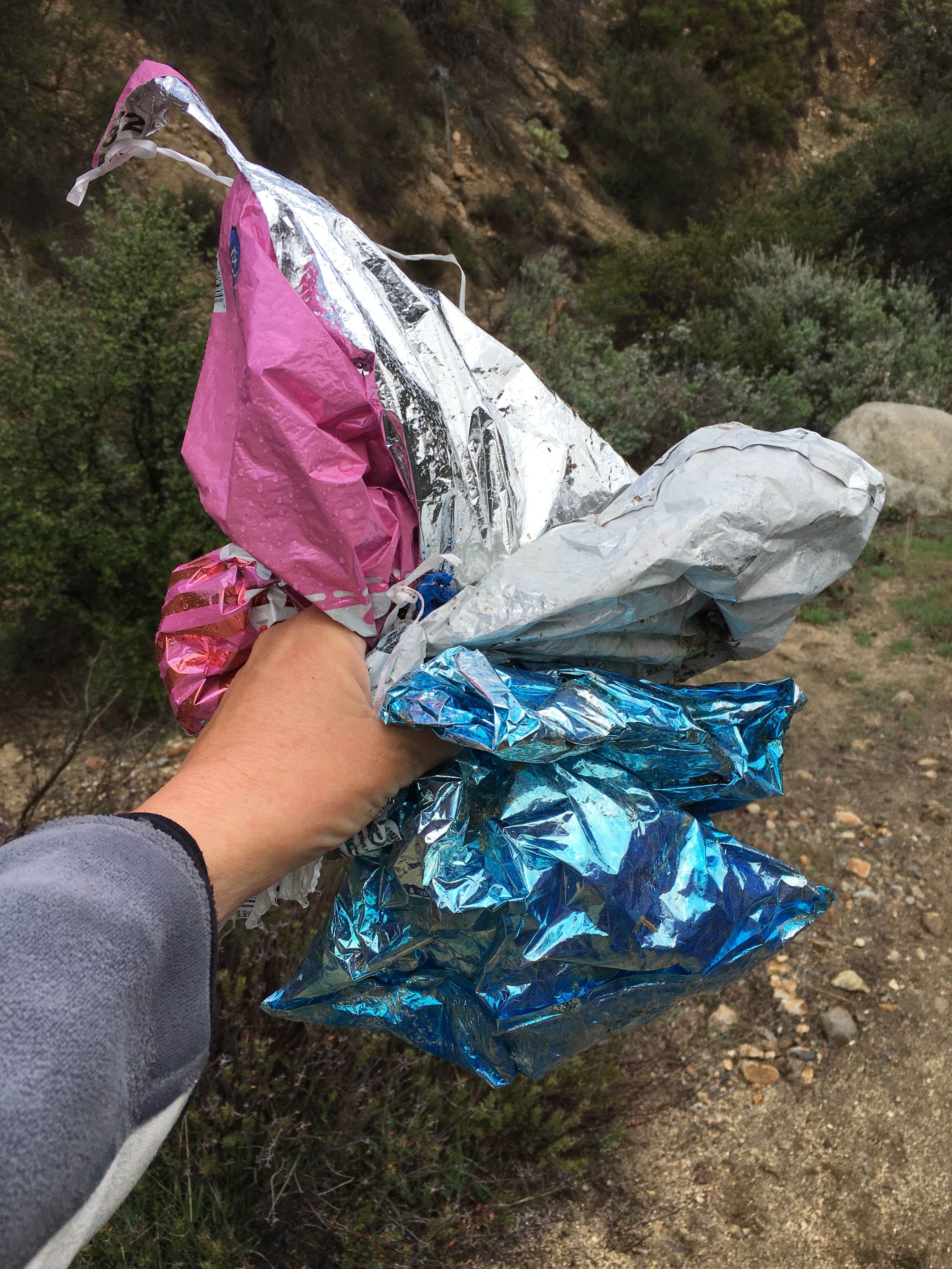
Well, Anza weather is hard to predict. It turned out to be foggy/drizzly in the morning, then clearing in the afternoon. — Perfect weather for hiking. So, I did the planned hike any. (This was a recon hike for a possible public event sponsored by the ABF.) I opted to do PCT north to “Anza’s Grand Canyon,” then back with a couple side hikes down Alkali Wash and up to the summit (such as it is) of Table Mountain. Got some nice photos for a booklet I’m working on about the flora in the Table Mountain area of Eastern Anza. Also took a few other photos showing the variety of interpretative subjects on this hike.

First, here’s the route:

outandback

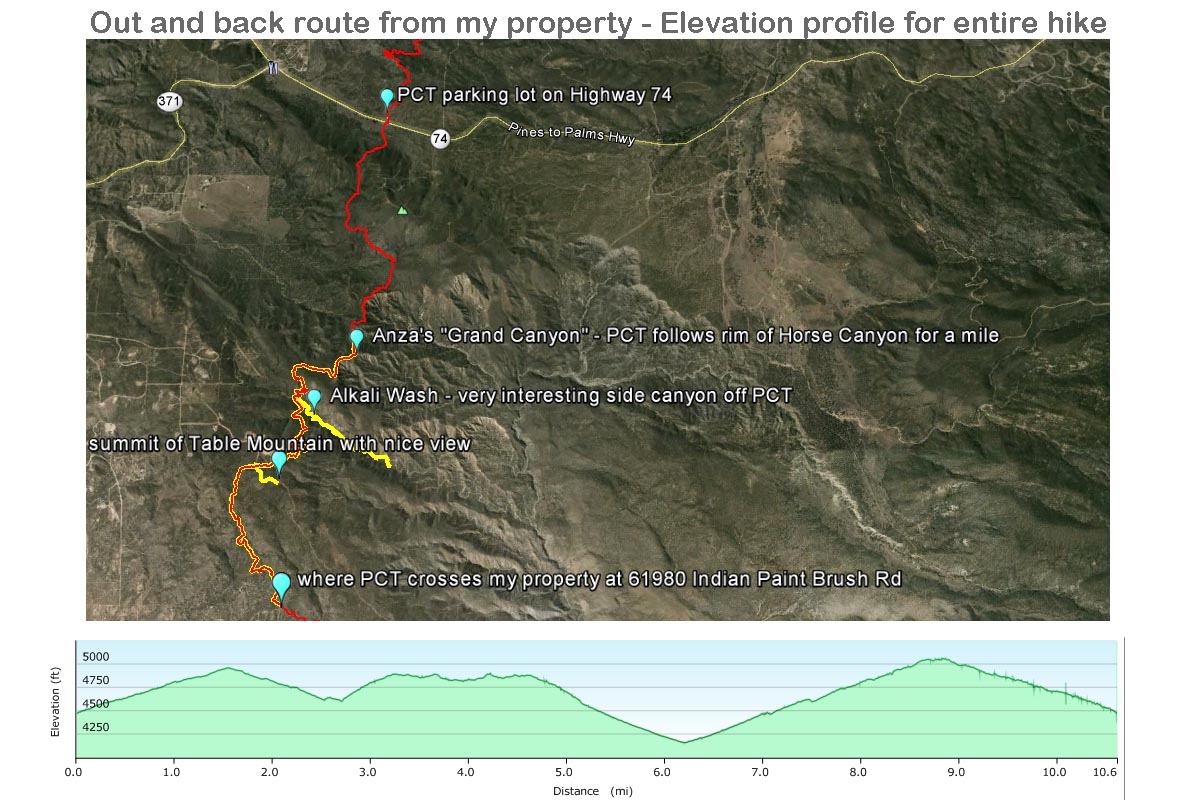
(The hike is in yellow, with the PCT shown in background in red.)

And here’s some cool pictures:

old cattle trough 1.2 miles down Alkali Wash

coyote scat pile showing signs of low desert vegetation (mesquite) and upper Table Mountain vegetation (manzanita berries), one on top of the other

the beauty of erosion patterns on an exposed side of the canyon

even in this remote location, I "bagged" three mylar balloons
even in this remote location, I “bagged” three mylar balloons

Leave a Reply

Fill in your details below or click an icon to log in:

WordPress.com Logo

You are commenting using your WordPress.com account. Log Out /  Change )

Facebook photo

You are commenting using your Facebook account. Log Out /  Change )

Connecting to %s